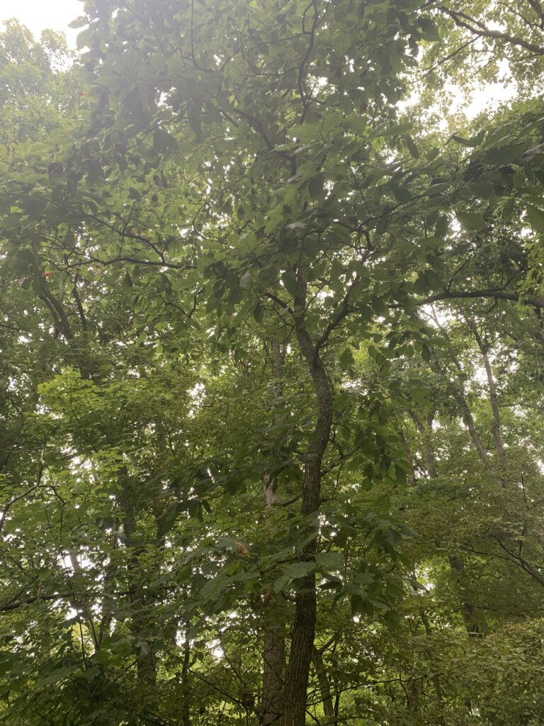
Part 1: Battelle Darby Metro Park
The answers to the following questions were found directly from the article “Linking Geology and Botany” by Jane L. Forsynth. Most of it will be direct quotes or paraphrasing due to the specific nature of the questions, so here’s a disclaimer that proper quote formatting will not be followed.
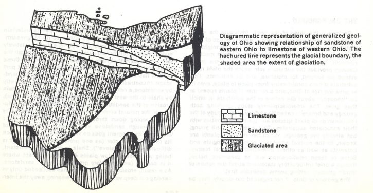
1. The geology of Ohio (if not regarded too closely) may be divided neatly into two parts. Contrast these two parts in terms of their geographic location, types of underlying rocks and their physical properties, and the landscape/topography that characterizes each
The western part of Ohio is underlain by limestone (including broad areas of its magnesium-containing variety, dolomite), a rock type that is relatively nonresistant in this humid climate. As a result, erosion over millions of years has worn that area down to a comparatively flat landscape.
Eastern Ohio is underlain predominantly by sandstone, which is relatively resistant, under which lies shale in the west, which is much less resistant to weathering than sandstone. This leads to deep valleys where shale was carved out, surrounded by steep sandstone or sandstone-capped hills.
2. The reason for the difference in kinds of rocks is not difficult to understand. Describe the original sequence of sedimentary rock strata (three types in order from top to bottom), an arch that formed 200 million years ago noting where the crest of the arch was located compared with the low-lying toe of the arch, and an important river system that occupied OH for a long time. (Be sure to give the name of the river, state about how many years it flowed and what effect it had upon the landscape. What curtailed the activities of the river?)
The original rock strata from top to bottom: sandstones, shales, and then limestone layers. A gentle arch cuts across Ohio, partially caused by the same pressures which created the original Appalachian Mountains to the east. Erosion has affected the highest part of the arch the most, exposing the oldest limestone rocks along its crest. Most of this erosion was caused by the preglacial stream known as the Teays River, which was present in Ohio for approximately 200 million years. This stream only stopped eroding at the onset of the Ice Age when glaciers began advancing, less than a million years ago.
3. Pleistocene glaciers invaded OH a few hundred thousand years ago or less. What feature of the landscape slowed the glaciers and so caused there to be a glacial boundary cutting across OH? Sketch a map of Ohio and on it place the glacial boundary
These glaciers were greatly slowed by the steep-sided sandstone hills of eastern Ohio, causing the glacial boundary to have a diagonal slant towards the north-east (shown in the image below, taken from the Forsynth article).
4. Describe “glacial till” in terms of its general composition (a definition of till), and how it differs in eastern and western OH
Glacial till is an unsorted mixture of sand, silt, clay, and boulders accumulated directly by the melting of glacial ice. In western Ohio, glacial till is rich in lime and clay, products of the glacial abrasion of the limestone bedrock. In eastern Ohio, glacial till contains very little lime and clay except near the margins of the aforementioned steep sandstone hills, where the ice moved from limestone bedrock to sandstone.
5. Contrast the basic substrate for plants in western and eastern OH in terms of drainage, aeration, pH (limey versus acid) nutrient availability.
The most common substrate on the plains of western Ohio is limy, clayey till which provides a relatively impermeable soil, high in lime but poorly drained and inadequately aerated. Water doesn’t soak in very fast but tends to remain on the surface, creating low oxygen availability during wet periods and bad drouths during dry spells. Nutrient supply is comparatively abundant. Where glacial till is thin or absent, thin layers of very dry, high lime soil can be found over limestone.
In eastern Ohio, however, exposed permeable sandstone bedrock produces a very acidic, low-nutrient substrate which is especially dry on the tops of the hills. The shale found in some areas beneath the sandstone also produces a generally acidic and low-nutrient substrate, but is impermeable unlike sandstone. This means water tends to run off the surface rather than soak in, making these substrates especially prone to dry spells. Where shale and sandstone are layered, water moving through the sandstone emerges as springs on the hillside once it reaches the impermeable shale.
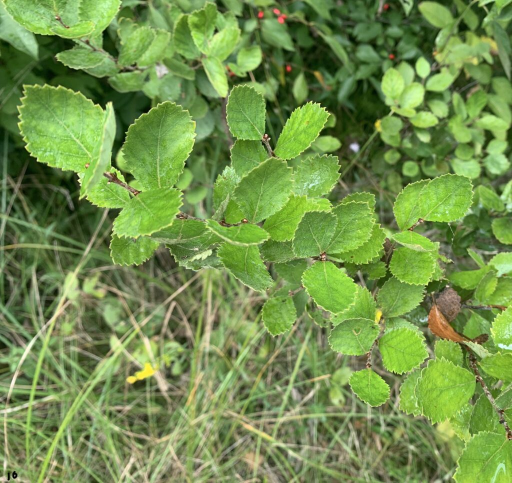
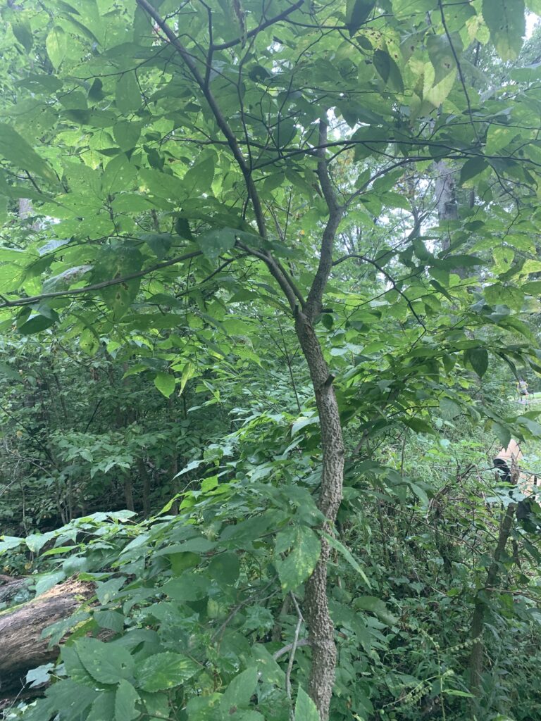
6. Five species of trees/shrubs that have a distribution generally limited to limestone or limey substrates (such as Ohio’s Lake Erie islands):
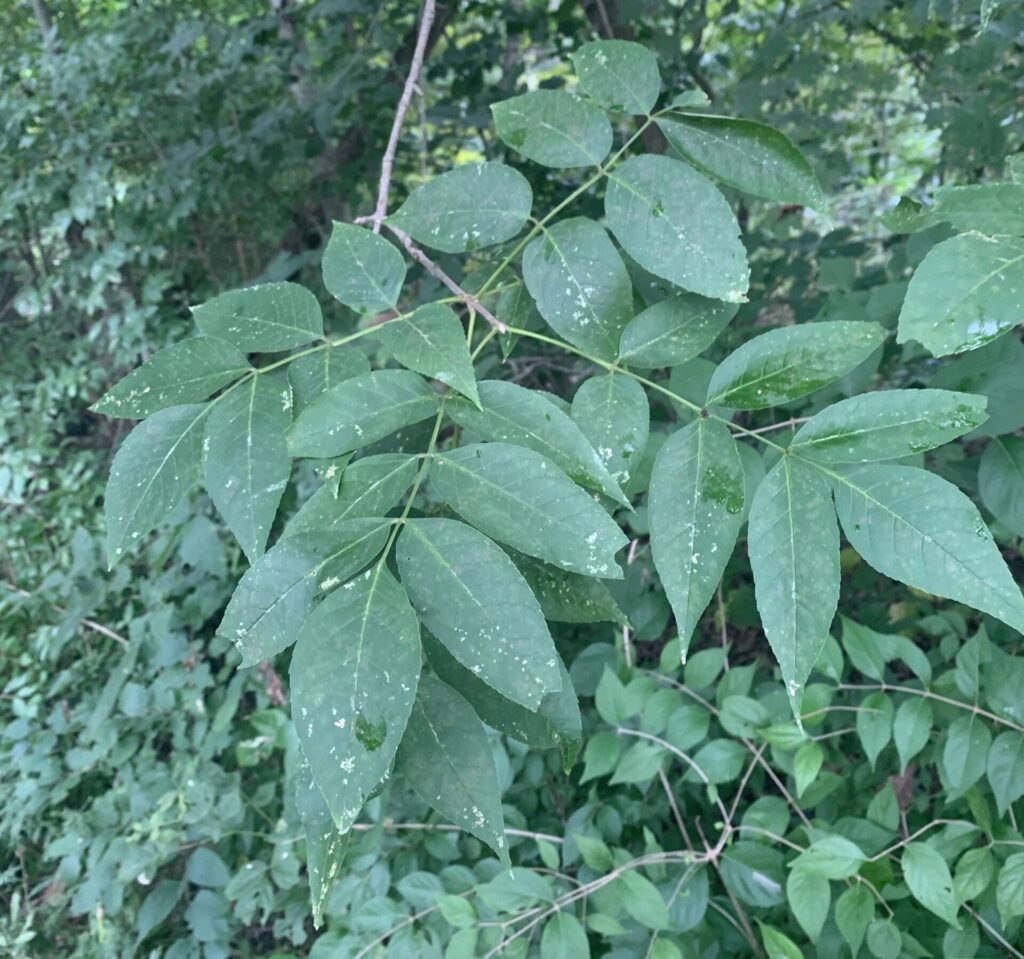
Blue ash, Fraxinus quadrangulata
This native midwestern tree thrives in full sun and in moist but well drained soils, and is particularly tolerant of drought and limestone soils [source]. The square stems, though hard to see in these pictures, are a signature characteristic of the species.
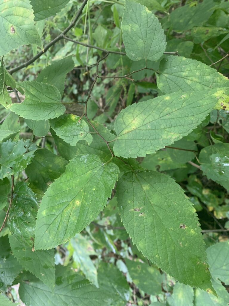
Common hackberry, Celtis occidentalis
This native tree is found throughout the midwest, and often replaces American elms in forests and landscaping after the arrival of Dutch elm disease [source]. It has a wide tolerance for soil, heat, drought, wind, ice, and shorth-term flooding. This species can also grow a “witches’ broom gall,” which is caused by an interaction between a disease and mite [source].
This species is very fast-growing and relatively short-lived. It prefers moist/well-drained to wet alkaline and clay soils, but is tolerant to occasional droughts and flooding [source]. The branch structure makes the species highly susceptible to ice damage, and the roots are prone to breaching pipes.
The sweet acorns of this species, along with many others in the white oak group, are highly valued by wildlife such as deer, turkey, grouse, and squirrel [source]. Human uses mostly include shade and lumber.
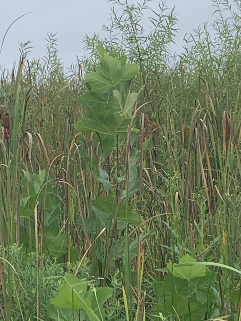
Besides the huge and recognizable leaves, this native species is easily recognized as an adult due to the bark flaking off and exposing the creamy layer below as the tree grows. The wood is used for industrial purposed, but is less common in furniture due to its coarse texture [source].
7. Name 5 species of trees/shrubs that have a distribution generally limited to high-lime, clay-rich substrates developed in the thick glacial till of western Ohio
Redbud (Cercis canadensis), snow trillium (Trillium nivale), fragrant sumac (Rhus aromatica), red-cedar (Juniperus virginiana), and cordate-leaved plantain (Plantago cordata).
8. Name 5 species of trees/shrubs that have a distribution generally limited to sandstone hill of eastern OH
Chestnut oak (Quercus montana), sourwood (Oxydendrum arboreum), scrub pine (Pinus virginiana), mountain laurel (Kalmia latifolia), and greenbrier (Smilax glauca).
9. What is the major determinant of the distribution of each of these species: a) sweet buckeye (contrast with hemlock), b) hemlock (contrast with sweet buckeye, c) rhododendron?
Sweet buckeye only occurs in south-east Ohio, within the eastern sandstone/shale and below the glacial boundary. Hemlock, on the other hand, grows throughout eastern Ohio over sandstone/shale, but on both sides of the glacial boundary. Rhododendron occurrences seem to line up with the valleys of the ancient Teays River system.
Part 2: Cedar Bog
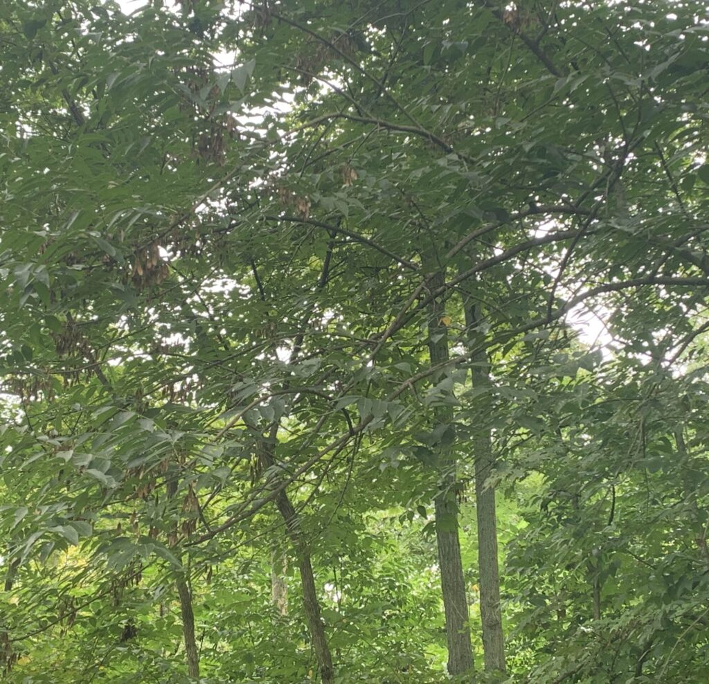
1. a brief description of the Cedar Bog fen and swamp forest., the unique ecological conditions there, and what causes them (geology). See the course companion website’s “Field Experience Autumn 2022” page for some pics of the Cedar Bog nature center’s interpretive signs on those topics (and our group photo!).
Bogs clog, fens flush! Cedar Bog is actually a fen because water not only enters (through rain and springs), but also leaves through small streams. Additionally, the limestone found at Cedar Bog’s base makes the groundwater alkaline to neutral, totally different to the acidic and brown water of bogs. Cedar Bog lies in a valley between two end moraines, carved out by glaciers 14-24,000 years ago, gathering runoff from the surrounding high ground during rain. Below this valley, under a bunch of water, sand, and gravel, lies an ancient buried Teays River valley. This entire area is known as an aquafer because water is able to flow freely through this material, and at the lowest surface spot in the valley, this water is forced up. This is what creates the fen habitat!
2. “Scavenger hunt” assignment, two examples of parasitic relationships:
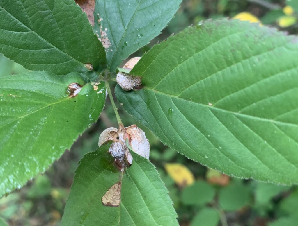
Gall midge, Neolasioptera farinosa
Gall midges as a species (family Cecidomyiidae) are fairly easy to recognize; any kind of lumpy, abnormal growth on leaves is likely caused by this family or fungal infections of some kind. The large, round shape of these galls combined with the texture make this subspecies recognizable. There’s surprisingly little information about the subspecies online, but as a whole the family Cecidomyiidae are flies that lay eggs on leaves, and when these larvae emerge they feed on the plant tissue and secrete compounds that mimic plant hormones, causing abnormal growths [source].
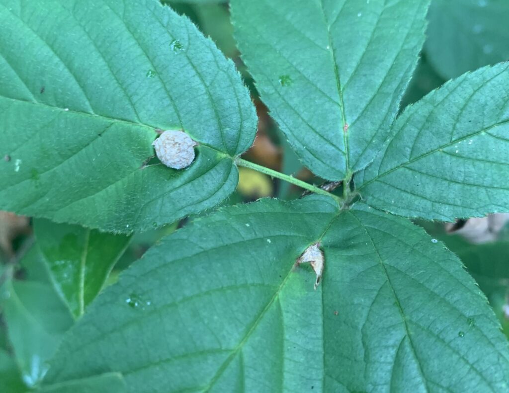
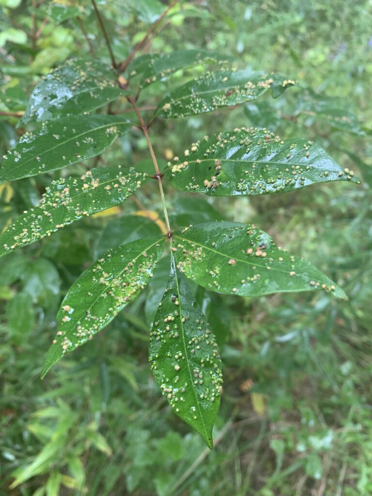
This parasitic relationship is between the poison ivy gall mite, Aculops rhois, and a member of the Rhus family. The size, shape, and color of the bumps along with the hair-like bristles seen in this specimen set it apart from other gall mites. There’s nothing super interesting to say about them, but their close relative Aculops ailanthii is being considered as a biocontrol measure to counteract the invasive tree-of-heaven.
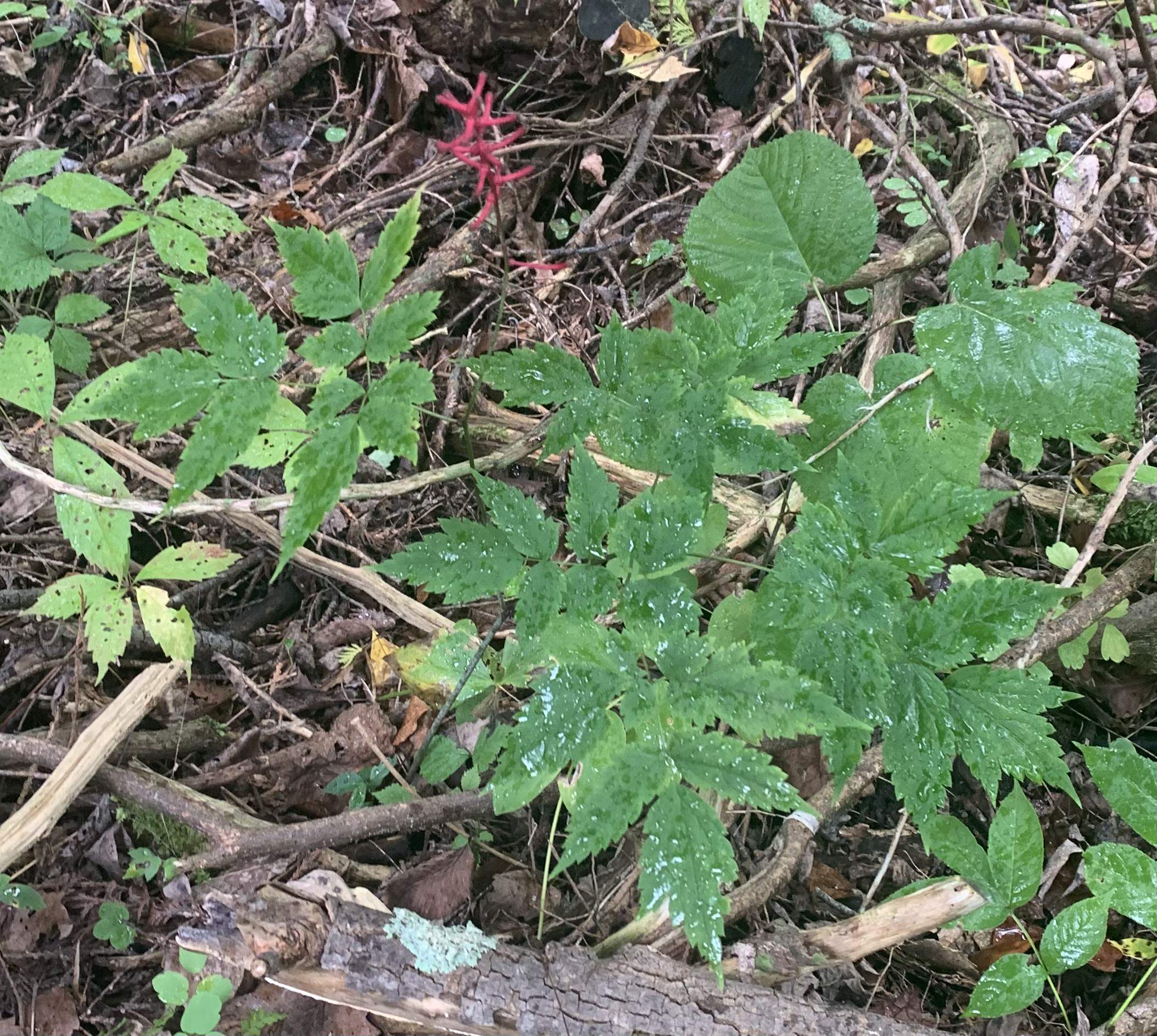
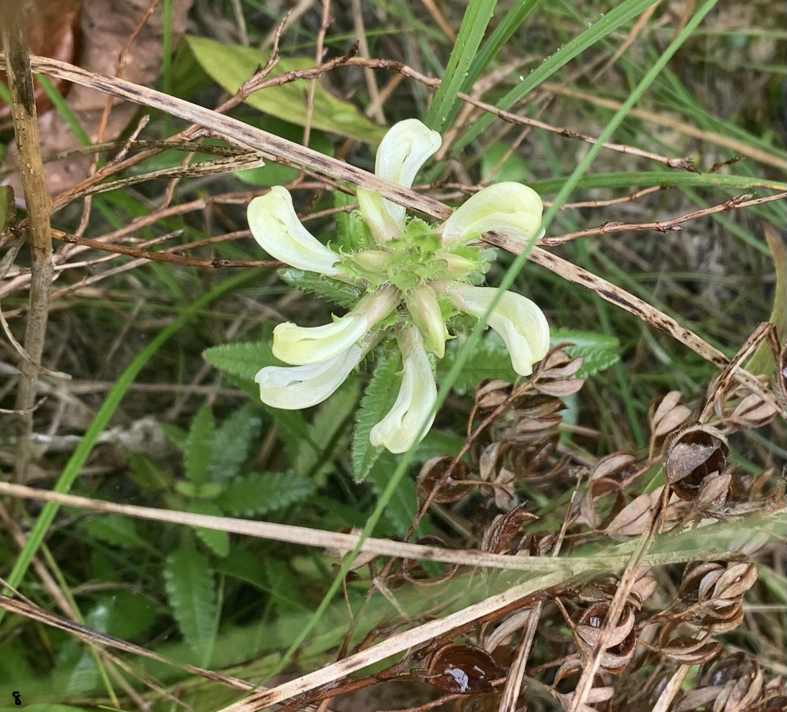
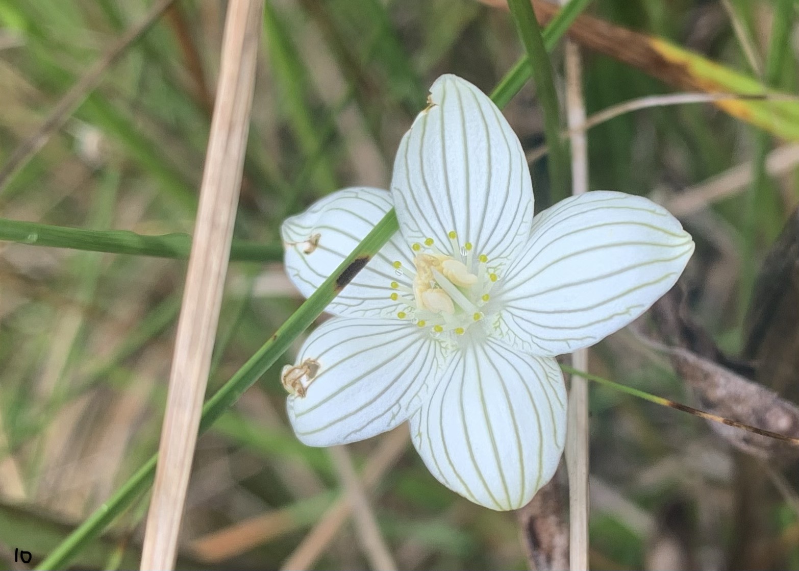
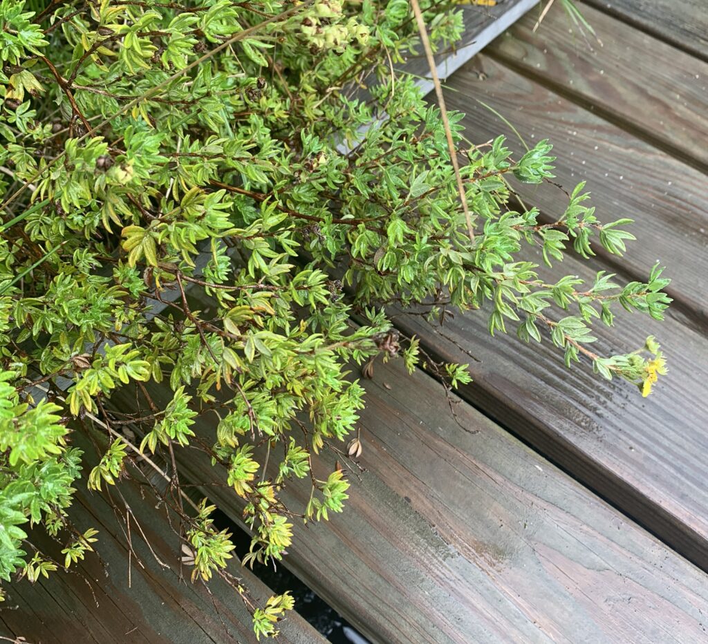
3. “Conservative” plants in terms of the FQAI (Floristic Quality Assessment Index) done by the Ohio Department of Natural Resources. The higher the CC (coefficients of conservatism, 1-10), the more narrow the range of ecological tolerances.
All of the following specimens were found at Cedar Bog.